 |
Geology BitesAuthor: Oliver Strimpel
What moves the continents, creates mountains, swallows up the sea floor, makes volcanoes erupt, triggers earthquakes, and imprints ancient climates into the rocks? Oliver Strimpel, a former astrophysicist and museum director asks leading researchers to divulge what they have discovered and how they did it. To learn more about the series, and see images that support the podcasts, go to geologybites.com. Instagram: @GeologyBites Bluesky: GeologyBites X: @geology_bites Email: geologybitespodcast@gmail.com Language: en Genres: Earth Sciences, Science Contact email: Get it Feed URL: Get it iTunes ID: Get it |
Listen Now...
Materials in Extreme Environments
Episode 122
Wednesday, 15 April, 2026
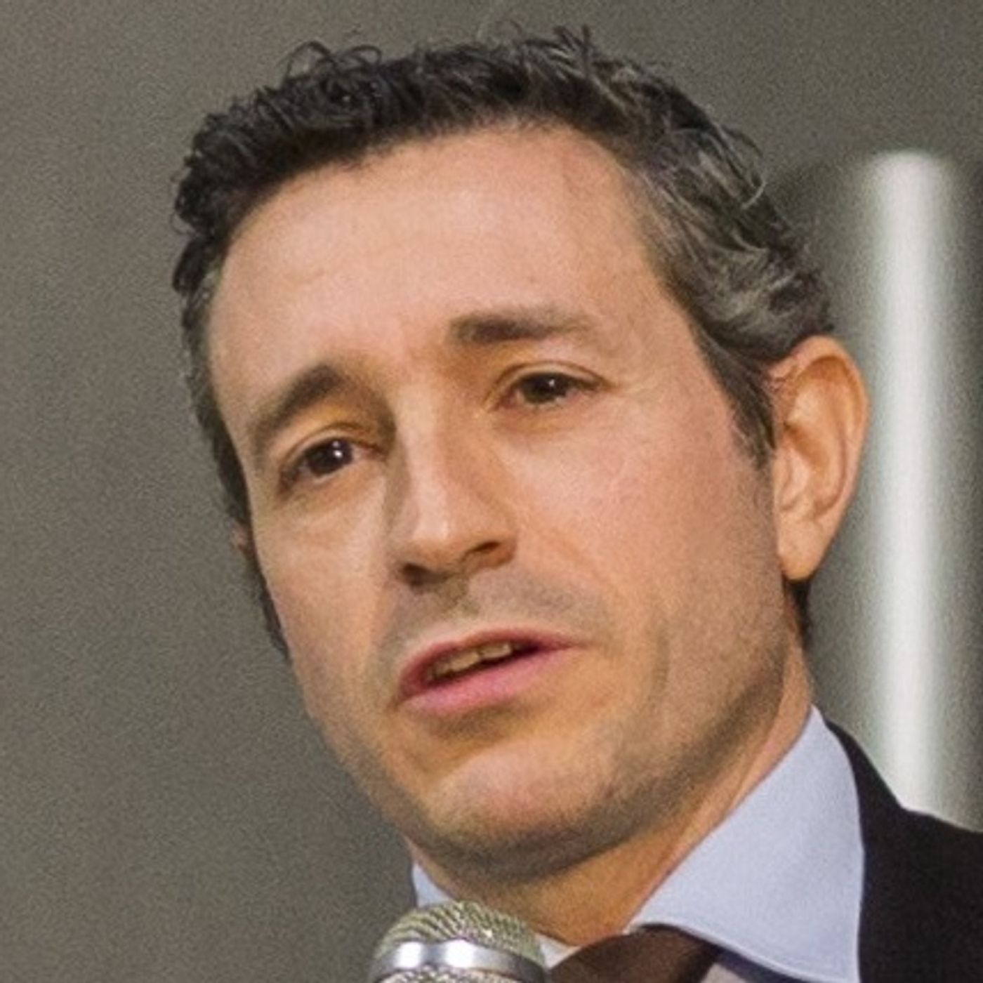
Most of the material in the Earth and other planets exists under extremes of pressure and temperature quite unlike those we inhabit on the surface of the Earth. Steve Jacobsen is a mineral physicist who studies how rocks and minerals behave under such alien conditions. In the podcast, we discuss his experiments and what we’ve learned about three extreme environments: the core-mantle boundary, the mantle transition zone, and the surface of the Moon.Jacobsen is a Professor of Geological Sciences at the University of Colorado Boulder. The image shows him in his optical spectroscopy lab, where extreme conditions found throughout the solar system are re-created.